Hi,
we are using L89 EVB connected to linux laptop.
1) which linux driver can we use for that ?
2) In L89 Documents they given procedure for windows , is there any document for linux to
    handle L89 ?
3)how we can configure L89 for IRNSS ?
Hi,
we are using L89 EVB connected to linux laptop.
1) which linux driver can we use for that ?
2) In L89 Documents they given procedure for windows , is there any document for linux to
handle L89 ?
3)how we can configure L89 for IRNSS ?
Dear nikhilvp29,
1,usb to UART driver of L89 EVB is CP210X VCP. The CP210x driver has been distributed as part of the Linux kernel since v2.6.12. Then the Linux laptop can detect it automatically. If not, please update it.
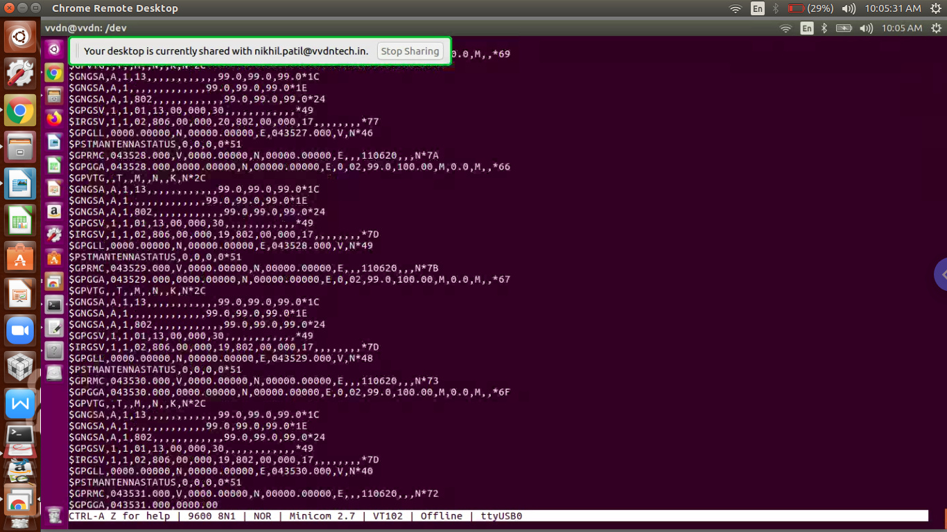
Try the following commands in Linux to catch NMEA log from L89( ttyUSB0 should be adapted to your own):
stty -F /dev/ttyUSB0 raw speed 9600
cat /dev/ttyUSB0
2, The procedure for Windows is the same as that in Linux except no Linux version tools. Try using shell command ‘echo’ or operating device node ‘ttyUSB0’ to handle L89.
3, The default multi-constellation of L89 is GPS+Galileo+IRNSS. Please refer to the command $PSTMSETCONSTMASK in the attached document.
If you have any questions, feel free to let me know!
Best Regards
Hi,
Dear nikhilvp29,
1,Messages RMC and GGA include co-ordinates calculated by all enabled constellations.
2, No need to initialize the GNSS receiver, just power up and then the receiver will work. $PSTMINITGPS is used to inject GPS time and Location in AGNSS (Assistance GNSS) feature which is used to speed up TTFF(Time To First Fix).
BTW, I added the AGNSS_application_note for you in the link previously provided.
3, The device node ‘ttyUSB0’ should be adjusted according to your own.
Regards
hi,
Before we are using EC25 module in that we are using QGPSLOC? command to get current location (lat,long,…) using GPS.
like wise here in L89 we are giving co-ordinates (Lat,Long,Pos,…) through $PSTMINITGPS command . but my question is when we will get current location through command like EC25?
Dear Nikhilvp29,
EC25 has a built-in GNSS unit. L89 is a stand-alone GNSS receiver.
Please note that command $PSTMINITGPS is used for the HOST to inject time+location into L89 module in AGPS feature. It’s not a command to get current location from the L89 module.
The L89 module automatically outputs NMEA standard messages, such as RMC,GGA, which include all necessary navigation info.
For example, you can get current location from RMC message:
$GPRMC,091241.000,A,3150.79761,N,11711.92397,E,0.0,351.6,130619,A*64
Where, A in bold means the module get location. North latitude: 31deg 50.79761min.
Please refer to L89_GNSS_Protocol in the provided link for detailed.
Regards
thanks,
hi,
can we write a c program or shell script to test L89 module ?
or any chat script is there to test these ?
Dear Nikhilvp29,
We generally use TeseoSuitePro PC tool to test L89 module.
And I added it into the link(but some functions are locked), please kindly download it.
Regards
thanks
hi,
how we can do FOTA for L89. any document is there for FOTA ?
Dear Nikhilvp29,
I added a upgrade user guide and sample code in the link for your reference.
Regards
hi,
I read Document and seen code.
but where we can get latest firmware file (.bin file) ?
How We can download a file through command ?
I am little bit confused .
Dear Sir,
1, Customers can apply for the latest firmware from Quectel support. I also added the latest L89 firmware into the link. Please download it.
2, L89 is a stand-alone GNSS module and the download process should be implemented on HOST by customers themselves.
Best Regards
hi,
Dear Sir,
1, You could issue shell command ‘echo’ to give commands through device node, please search for the usage of shell command ‘echo’.
Also, you could do device node operation(open, read, write etc.) in your demo.c.
2,Yes, IRGSV shows IRNSS satellites in view and satellites related info. Please refer to the L89 Protocol document for more details.
Best Regards
hi,
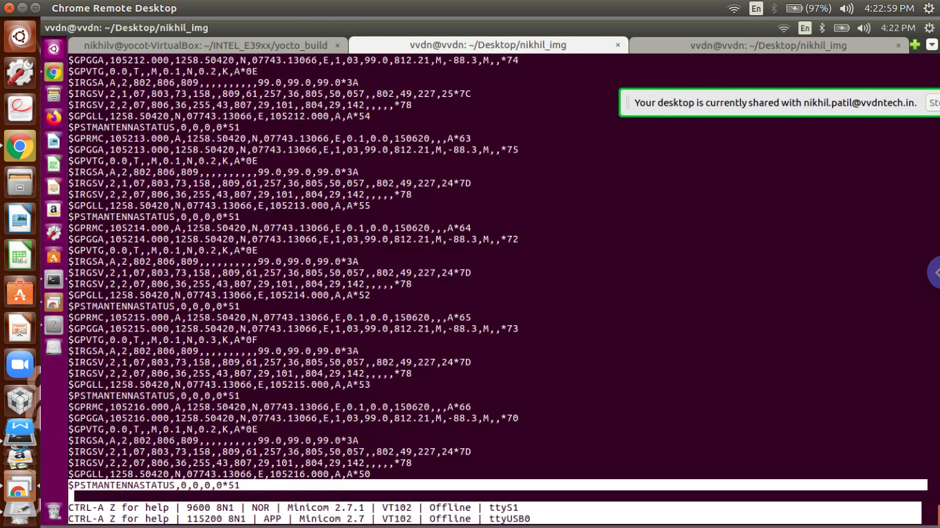
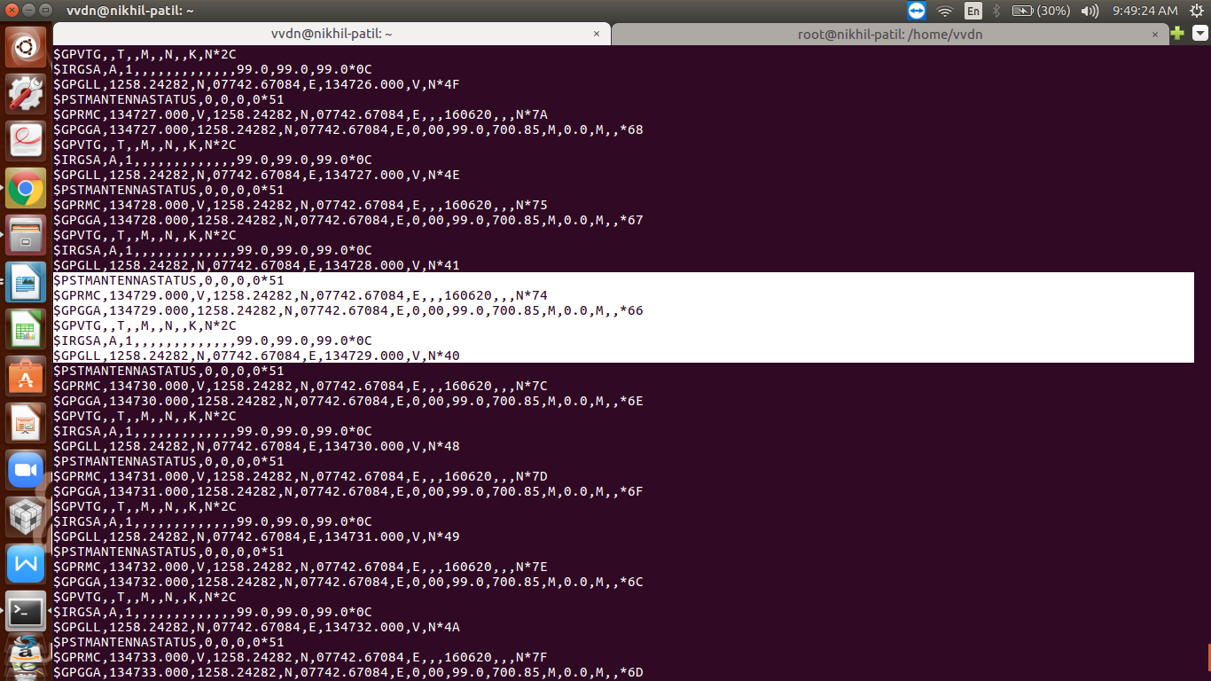
we connected l89 using UART, the ttyS1 is a device node we are getting .
On ttyS1 port we are getting GPS , IRNSS NMEA logs . but after some time NMEA logs are getting stuck , logs not coming continously .
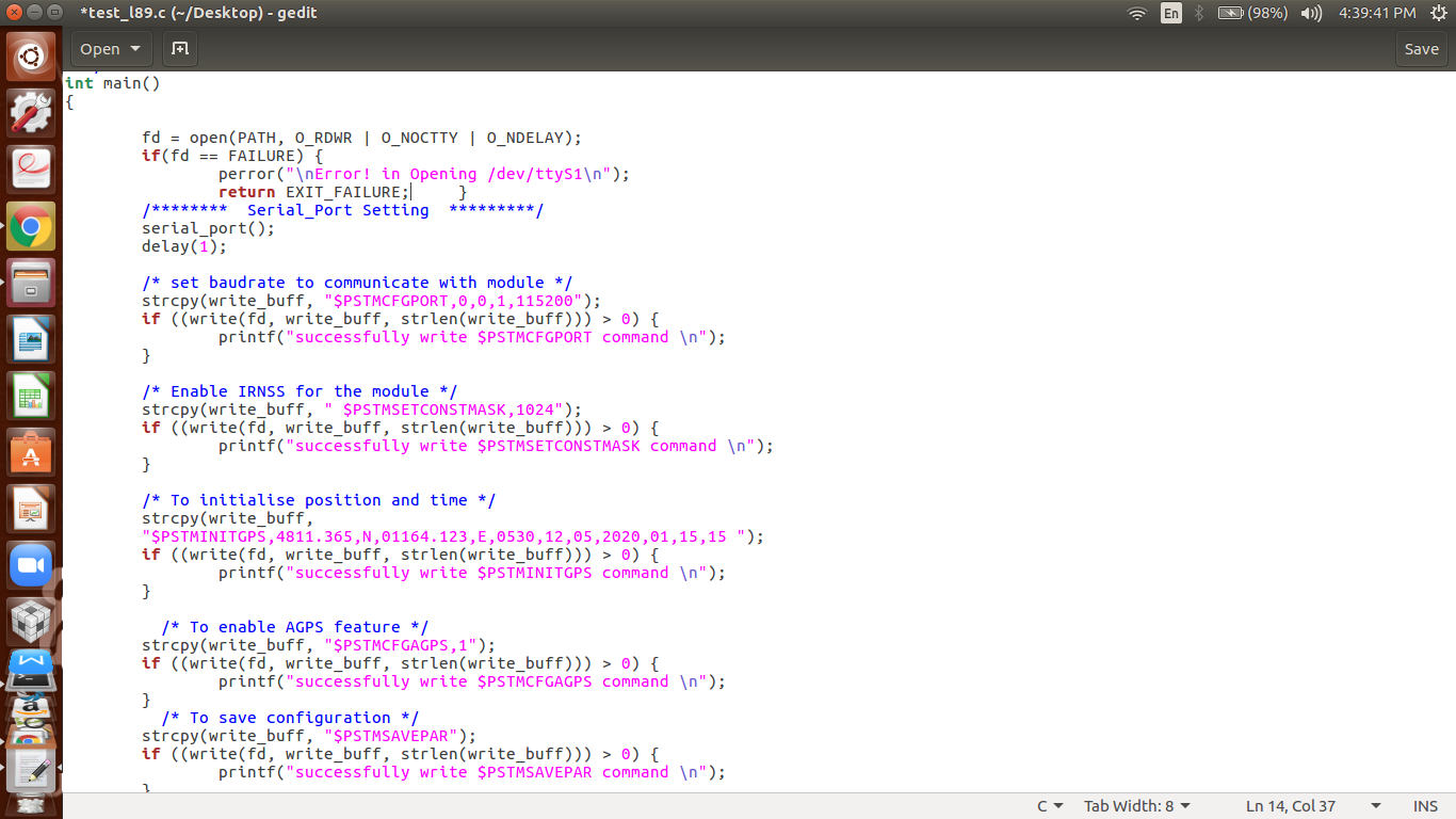
we are sending commands through c program but it is not impacting on module.
i am attaching code (main function) .
Dear Nikhilvp29,
Regarding to item 1, which method do you use to get the NMEA log, the shell command or your demo.c?
Regarding to item 2, “< CR >< LF >” is essential. That’s to say, the command format should be “$PSTMCMD\r\n” or “$PSTMCMD*CS\r\n”, where CS means CheckSum.
BR
hi Berton.Peng
for item 2 i will try
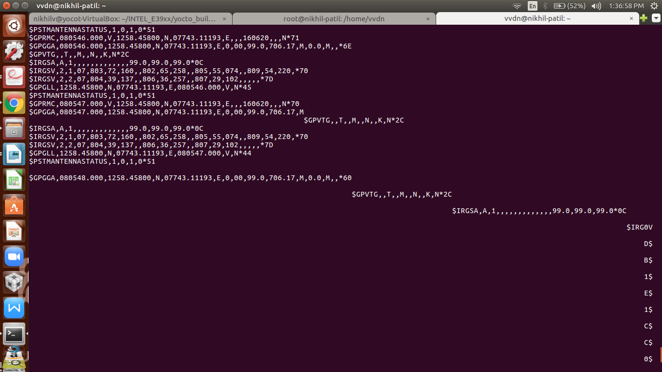
hi , i changed baudarate of module now data is not stucking on uart port , data is coming properly but ,
We are receiving some junk characters from the module in between, so we are not able to read the proper data at the host side.
Dear Nikhilvp29,
Do you catch the NMEA log by shell commands? If so, it should be the configuration issue.
Also, you could use the Linux serial tool minicom to catch log.
BR