With some colleagues we are using a L86 GNSS module. From the GGA standard message we are getting the altitude above the mean sea level. I wanted to know if the mean sea level is a fixed reference or does it evolve with time?
Thank in advance for your answer.
Regards,
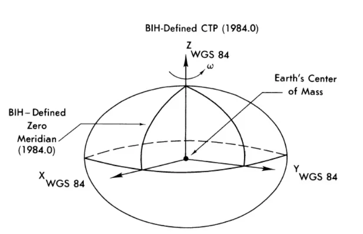
GNSS module outputs LLA(lat,lon,alt) in WGS-84(World Geodetic Coordinate System 1984) coordinate. It bases on an ellipsoid which related to the earth ground. That means GGA altitude doesn’t relate to sea level or tide.
Thank you for your answer. I got the point that you were using the WGS84 reference ellipsoid.
But you also defined a mean sea level which deviate from this ellipsoid to represent the geoid. And I wanted to know if this geoid you use is time varying or constant, and where does it come from?